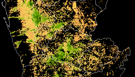
Mapping Disaster Risk from Aerial Imagery - Benchmark
In this post we'll show you how to start working with aerial imagery to classify the roof material of buildings in St. Lucia, Guatemala, and Colombia.
Sebastian Castro (MathWorks)
Guest writer
Join our newsletter or follow us for the latest on our social impact projects, data science competitions and open source work.
Protected by reCAPTCHA. The Google
Privacy Policy and
Terms of Service apply.
Latest posts
All posts
Meet the winners of Phase 3 of the PREPARE Challenge
Learn how teams developed proof-of-concept approaches for real-world early Alzheimer's prediction

Meet the winners of the AI for Advancing Instruction Challenge
Learn how the winners of the AIAI challenge leveraged multimodal classroom data to identify instructional activities and classroom discourse content.
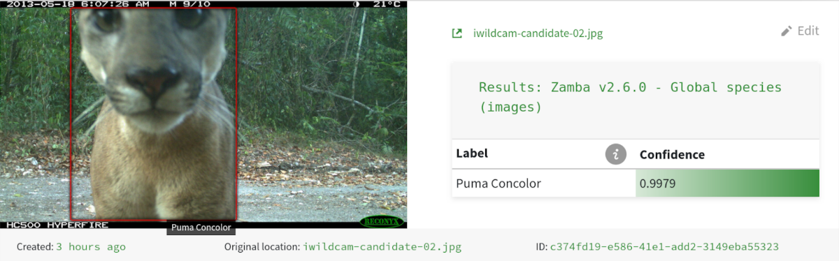
Automating wildlife monitoring with Zamba & Zamba Cloud
DrivenData partnered with conservation researchers to create Zamba, an open-source machine learning solution that helps wildlife researchers process camera trap footage, reducing months of manual review to hours of automated analysis.

Community Spotlight: Paola Ruiz, Néstor González, Daniel Crovo
The Community Spotlight features fantastic members from our DrivenData community. Three members of the IGCPHARMA team, Paola Ruiz, Néstor González, and Daniel Crovo talk to us about data science, drug discovery, diverse databases and more!

Community Spotlight: Kirill Brodt
The Community Spotlight features fantastic members from our DrivenData community. Kirill Brodt, a researcher in computer graphics at the University of Montreal, talks animation, pose estimation, and data science challenges.
Jump-starting data infrastructure and in-house data expertise
DrivenData designed and built a data warehouse to centralize, organize, and visualize data across CodePath's operations. Our team also provided technical hiring assistance to find the right talent to carry the work forward.
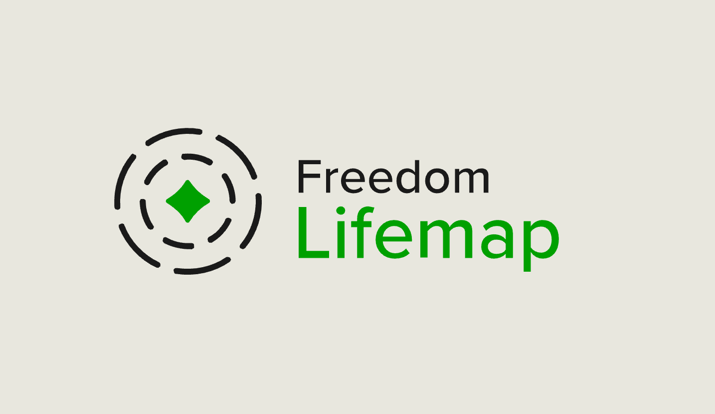
A production application to support survivors of human trafficking
DrivenData developed Freedom Lifemap, a digital tool designed to support survivors of human trafficking on their journey toward reintegration and independence.
(Tech) Infrastructure Week for the Nonprofit Sector
Reflections on how to build data and AI infrastructure in the social sector that serves the needs of nonprofits and their beneficiaries.
Meet the winners of Phase 2 of the PREPARE Challenge
Learn about how winners detected cognitive decline using speech recordings and social determinants of health survey data

AI sauce on everything: Reflections on ASU+GSV 2025
Data, evaltuation, product iteration, and public goods: reflections on the ASU+GSV Summit 2025.
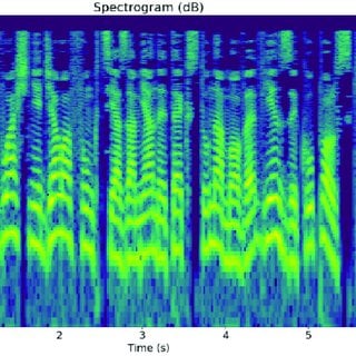
Open-source packages for using speech data in ML
Overview of key open-source packages for extracting features from voice data to support ML applications

Getting started with LLMs: a benchmark for the 'What's Up, Docs?' challenge
An introduction to using large language models via the benchmark to a document summarization challenge.

Meet the Winners of the Goodnight Moon, Hello Early Literacy Screening Challenge
Learn about the results and winning methods from the early literacy screening challenge.

Crowdsourcing solutions for AI-assisted early literacy screening
DrivenData ran a machine learning competition to develop models for scoring audio recordings from literacy screener exercises completed by students in kindergarten through 3rd grade.
Where to find a data job for a good cause
Finding data jobs for good causes can be difficult. Learn strategies, job lists, and tips to find organizations with open positions working on causes you care about.

Meet the Winners of the Youth Mental Health Narratives Challenge
Learn about the winning solutions from the Youth Mental Health Challenge Automated Abstraction and Novel Variables Tracks
Meet the winners of the Forecast and Final Prize Stages of the Water Supply Forecast Rodeo
Learn about the winners and winning solutions from the final stages of the Water Supply Forecast Rodeo.
10 takeaways from 10 years of data science for social good
This year DrivenData celebrates our 10th birthday! We've spent the past decade working to use data science and AI for social good. Here are some lessons we've learned along the way.
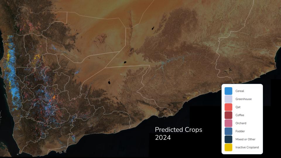
Mapping agricultural trends in Yemen during crisis
DrivenData partnered with The World Bank to use machine learning and remote sensing data to track agricultural changes across Yemen from 2019-2024, providing critical insights for food security planning in a conflict-affected region.
Work with us to build a better world
Learn more about how our team is bringing the transformative power of data science and AI to organizations tackling the world's biggest challenges.