case studies

Quantifying unclear property titles (“tangled titles”) trapping billions in wealth in American cities

DrivenData conducted a multi-city study of the prevalence and sources of tangled titles in partnership with the Center for Opportunity and Wealth Data to help policymakers and practitioners combat a major barrier to building intergenerational wealth.

The organization

The Center for Opportunity and Wealth Data works to support wealth-building and close the wealth gap by strengthening the collection, quality, and accessibility of wealth-equity data. By centralizing data from multiple sources, building a partner network for data analysis, and conducting and promoting groundbreaking research, the Center equips policymakers, practitioners, and advocates with the insights they need to help families build, protect, and pass down wealth across generations.

For this project, the Center directed DrivenData to develop new methods to enumerate and characterize tangled titles.

”Tangled title”: A property title where ownership is unclear or disputed, often involving a mismatch between the owner listed on the deed and the property claimant.

”At-risk title”: Properties where some of the listed owners are deceased, or there are multiple owners who have received the property through inheritance.

”Heirs’ property”: Family-owned property inherited by multiple generations without the formal legal proceedings necessary to prove ownership.

The challenge

Tangled titles are difficult to study because they are difficult to see. Unlike formal property transfers, inheritance without probate leaves no consistent paper trail, meaning there is no single database that tracks them, and no universally agreed-upon criteria for what counts. Without standardized criteria or a centralized data source, even basic questions — how many tangled-title properties exist in a given city, and who owns them — are nearly impossible to answer at scale.

The Center engaged DrivenData to develop new methods for enumerating and characterizing tangled titles across multiple cities, producing findings that could be replicated, compared, and acted on.

The approach

DrivenData began by reviewing several studies to better understand the data sources and the criteria applied. The team found that studies tended to fall into two categories: national in scope or limited to a single city. In many cases, data is not disaggregated by race, or findings are aggregated to the national level and therefore not suitable for the Center's desired city-level analysis of the impact of tangled titles across different racial and ethnic groups.

To mitigate these limitations, DrivenData chose PropertyRadar, a unified source of property and owner data across the US. This allowed analyses for one city to be easily and consistently repeated for others. We found that PropertyRadar’s property-level details (condition, liens, transactions) supported the level of detailed comparison analysis the Center desired, and avoided the effort of unifying and harmonizing municipal datasets across different systems. At the same time, to validate our approach and data source, we used studies from Detroit and Philadelphia to compare their respective numbers and the aggregate value of tangled properties with our PropertyRadar results.

Under the Center’s leadership, the research approach worked from two perspectives: practitioners working on the problem, and researchers seeking new approaches to understanding tangled titles:

  • For practitioners: What do the findings tell us about adjusting or strengthening intervention strategies?
  • For researchers: What methods and data can we contribute to the field of tangled titles research?

The results

The research completed by the Center and DrivenData identified more than 32,000 tangled or at-risk properties, representing over $5.7 billion in trapped family wealth across the five cities. Sample results for three cities are presented below. Because race is unspecified (unknown) for many properties in the PropertyRadar database, these results likely underreport the number and value of tangled titles for Black-owned properties.
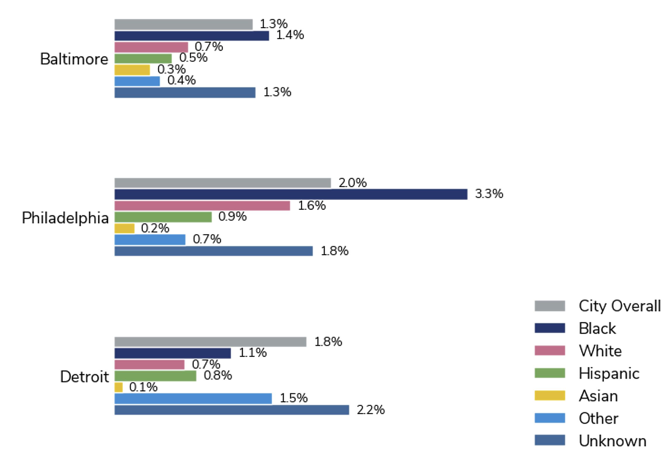
Chart showing higher rates of tangled titles among Black-owned properties
The rate of tangled titles is 1–2% of all properties (homes and land) in each city. Black-owned properties in PropertyRadar data have a higher rate of tangled titles than other groups and the overall rate.

The research also found that the most prevalent characteristics of tangled titles vary across cities, suggesting that identification and intervention strategies may need to be locally tailored. In Baltimore, the “single owner deceased” criterion is associated with the most tangled properties, whereas in Philadelphia, tangled properties are more likely to be identified by transfer dates more than 50 years old.

The PropertyRadar-based approach showed strong similarities with estimates from other city-level studies, indicating it can be replicated in additional cities, providing a scalable foundation for future tangled titles research.

Read more in the Center's blog post on tangled titles.
Our real-world impact

All projects
Partners: Max Planck Institute for Evolutionary Anthropology, Arcus Foundation, WILDLABS

Automating wildlife identification for research and conservation

Detected wildlife in images and videos—automatically and at scale—by building the winning algorithm from a DrivenData competition into an open source python package and a web application running models in the cloud.

Partner: CodePath

Data engineering from the ground up

Built data infrastructure to ingest, clean, integrate, and organize data across CodePath, created interactive dashboards for accurate monitoring of program trends, and provided trusted data expertise to identify and hire talent to carry the work forward.

Partner: The National Center for State Courts

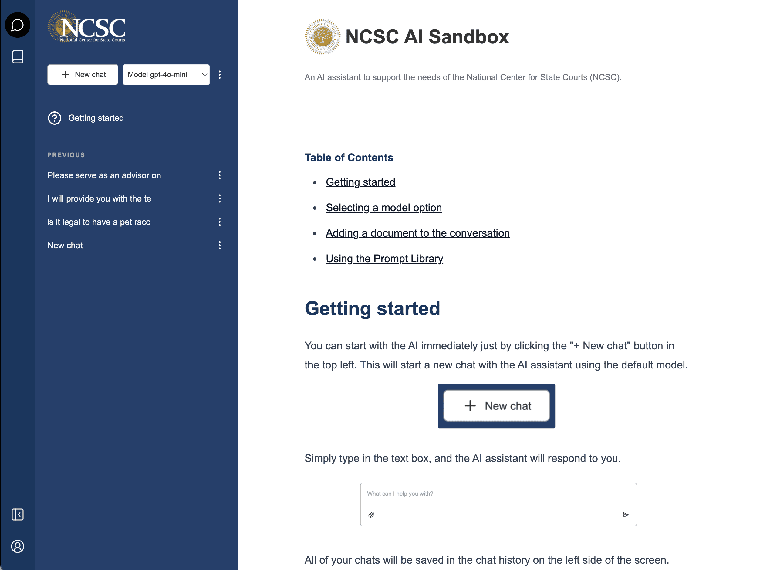
Building a private LLM sandbox for NCSC

We worked with the National Center for State Courts to build an LLM chat sandbox for private usage. This sandbox allows users to experiment with LLM tools in a way that is safe, secure, and cost-effective, with specific use cases and prompts relevant to their work.

Partners: The World Bank, The Conflict and Environment Observatory

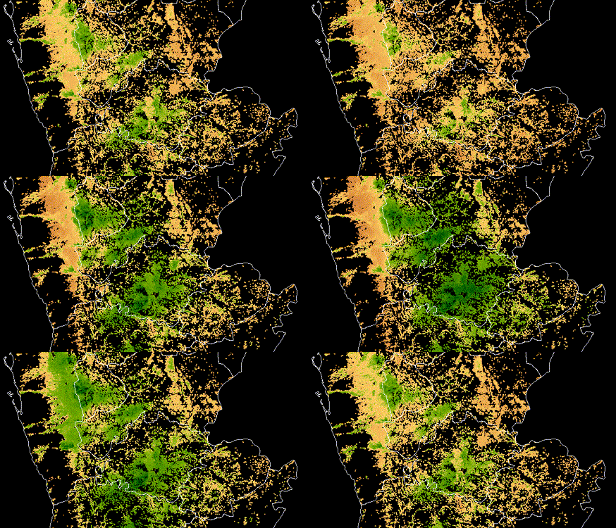
Identifying crop types using satellite imagery in Yemen

Used satellite imagery to identify crop extent, crop types and climate risks to agriculture in Yemen, informing World Bank development programs in the country after years of civil war.

Partners: Private sector, social sector

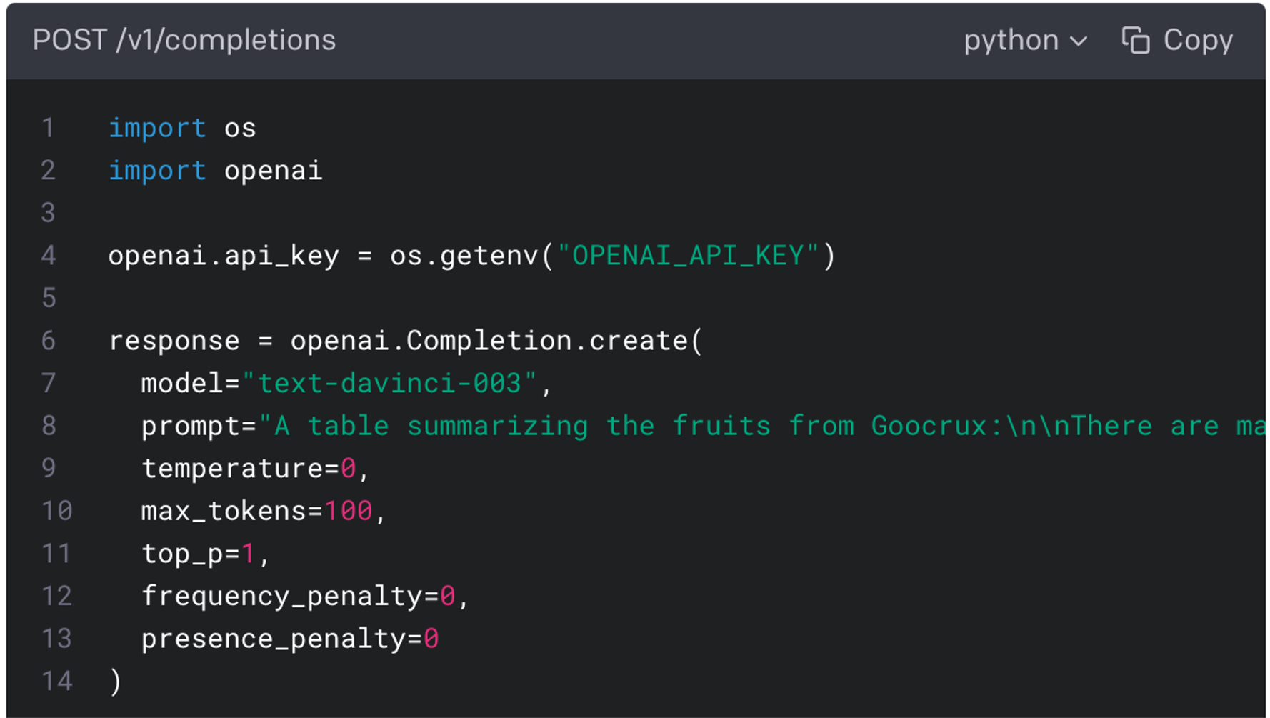
Building applied solutions with LLMs

Built solutions using LLMs for multiple real-world applications, across tasks including semantic search, summarization, named entity recognition, and multimodal analysis. Work has spanned research on state-of-the-art models tuned for specific use cases to production ready retrieval-augmented AI applications.

Partners: Bureau of Ocean Energy Management, NOAA Fisheries, Wild Me

Protecting endangered beluga whales with computer vision

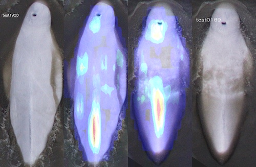
Designed and administered a computer vision challenge that produced state-of-the-art machine learning models to identify and match individual endangered beluga whales from photo surveys.

Partner: EverFree

A production application to support survivors of human trafficking

Built the Freedom Lifemap platform, a digital tool designed to support survivors of human trafficking on their journey toward reintegration and independence

Partner: ReadNet

Crowdsourcing solutions for AI assisted early literacy screening

Ran a machine learning challenge to develop automatic scoring methods for audio clips from literacy screener exercises. Automated scoring can help teachers quickly and reliably identify children in need of early literacy intervention.

Partner: Science for America

Making higher education data more accessible

Created an open source Python library and interactive data visualization platform for analyzing U.S. higher education data and illuminating trends and disparities in STEM education.

Partner: BetterUp Labs

Building research infrastructure for conversational AI

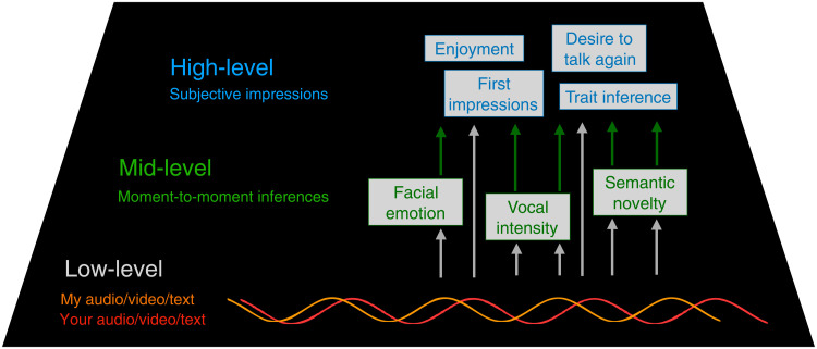
Developed the data infrastructure, machine learning pipelines, and research tools for the CANDOR Corpus with BetterUp Labs—enabling large-scale insights into human conversation.

Partner: Center for Opportunity and Wealth Data

Quantifying unclear property titles (“tangled titles”) trapping billions in wealth in American cities

Analyzed property data to better understand the prevalence of “tangled titles”, a barrier impeding intergenerational wealth transfer and disproportionately impacting Black property owners.

Partner: Candid

Linking nonprofit grants to organizations with machine learning

Built Orgmatch, a scalable and explainable entity resolution system to add value to information processed by a leading nonprofit data hub.

Partner: IDEO.org

Illuminating mobile money experiences in Tanzania

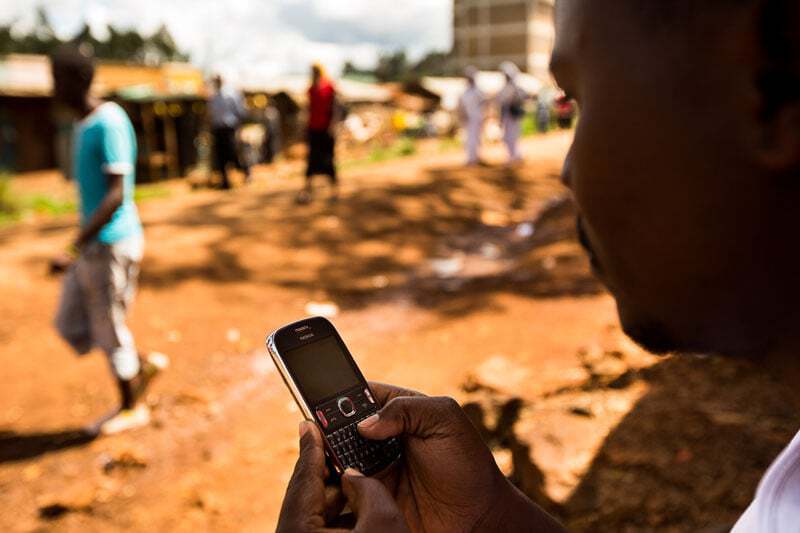
Analyzed millions of mobile money records to uncover patterns in behavior, and then combined these insights with human-centered design to shape new approaches to delivering mobile money to low-income populations in Tanzania.

Partners: Insecurity Insight, Physicians for Human Rights

Tracking attacks on health care in Ukraine

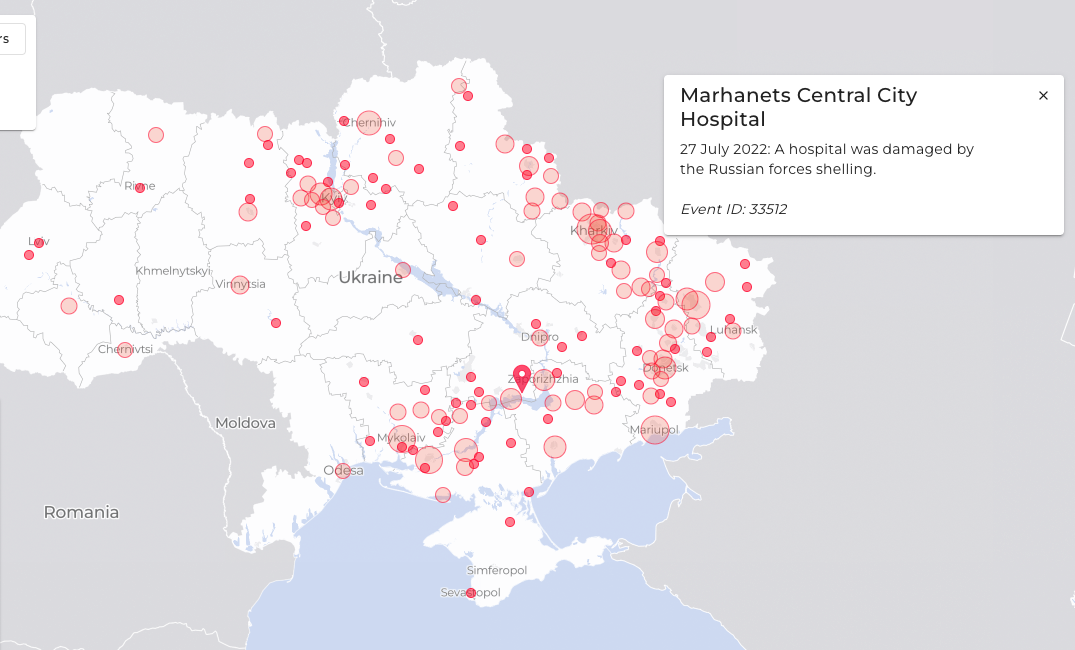
Built a real-time, interactive map to visualize attacks on the Ukrainian health care system since the Russian invasion began in February of 2022. The map will support partner efforts to provide aid, hold aggressors accountable in court, and increase public awareness.

Partner: Wellcome

Addressing algorithmic bias in medical research

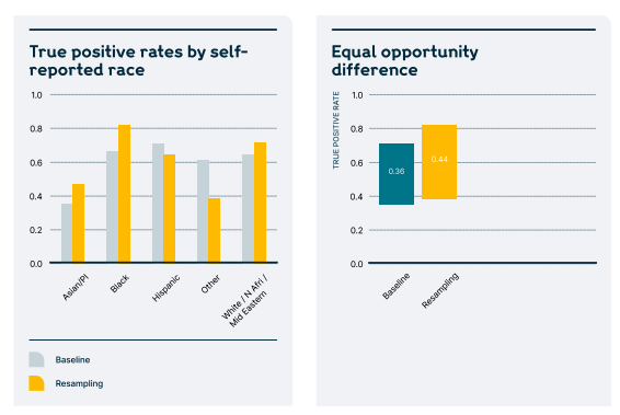
Conducted a literature review to understand the current state of bias identification & mitigation in mental health research, and synthesized recommended best practices from the field of machine learning.

Partner: National Oceanic and Atmospheric Administration (NOAA)

Forecasting geomagnetic storms

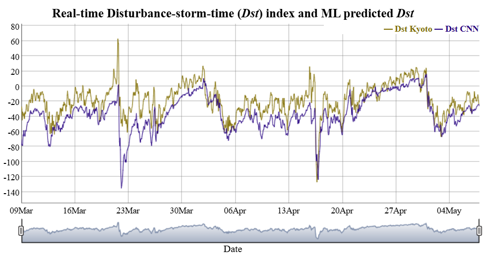
Designed and ran a global challenge that produced open-source models now powering public, real-time predictions of geomagnetic storm activity to help mitigate space weather risks.

Partner: CABI Plantwise

Mining chat messages with plant doctors using language models

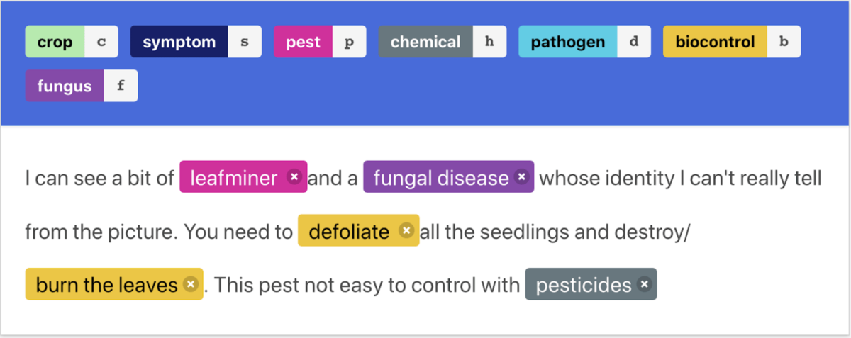
Automated recognition of agricultural entities (such as crops, pests, diseases, and chemicals) in WhatsApp and Telegram messages among plant doctors, enabling new ways to surface emerging trends and improve science-based guidance for smallholder farmers.

Partner: NASA

Monitoring water quality from satellite imagery

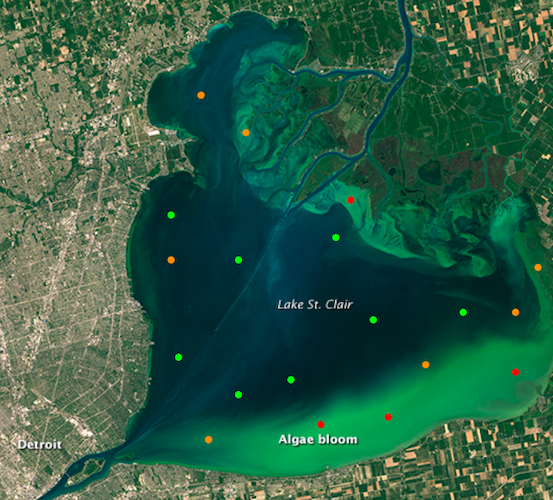
Created an open-source package to detect harmful algal blooms using machine learning and satellite imagery. Included running a machine-learning competition, conducting end user interviews, and engineering a robust, deployable pipeline.

Partners: Candid, Center for Opportunity and Wealth Data

Facilitating LLM opportunity workshops

It can be difficult to tell how generative AI can produce the most impact for organizations seeking to incorporate it into their work. We've facilitated human-centered design workshops with our partners to surface how generative AI can accelerate progress toward their goals.

Partner: Data science company foundation

Matching students with schools where they are likely to succeed

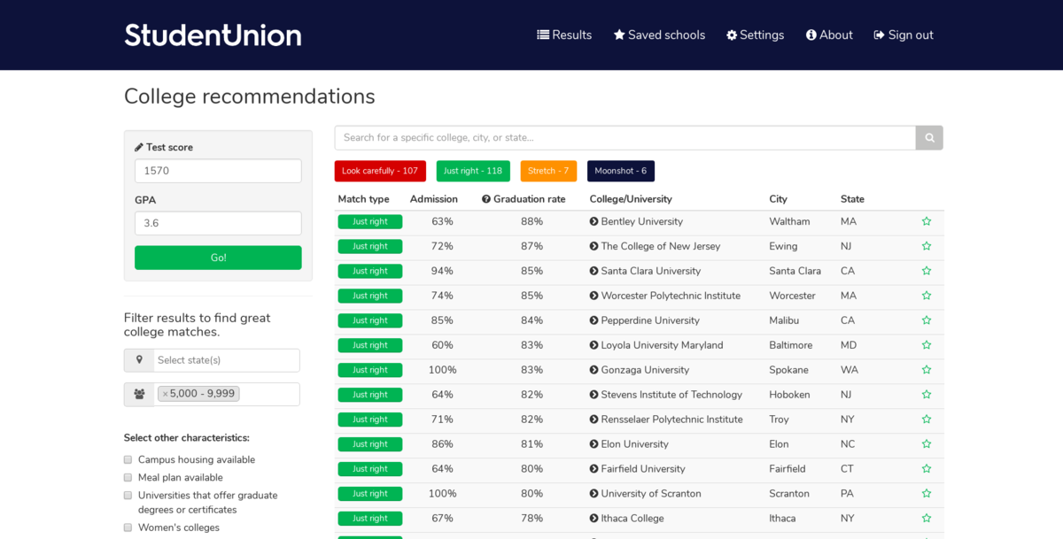
Used machine learning to match students with higher education programs where they are more likely to get in and graduate based on their unique profile, with a focus on backgrounds traditionally less likely to attend college or apply to more competitive programs.

Work with us to build a better world

Learn more about how our team is bringing the transformative power of data science and AI to organizations tackling the world's biggest challenges.