Radar imagery posts
Explore the latest in our mission to build a better world using data science and AI.
Explore the latest in our mission to build a better world using data science and AI.
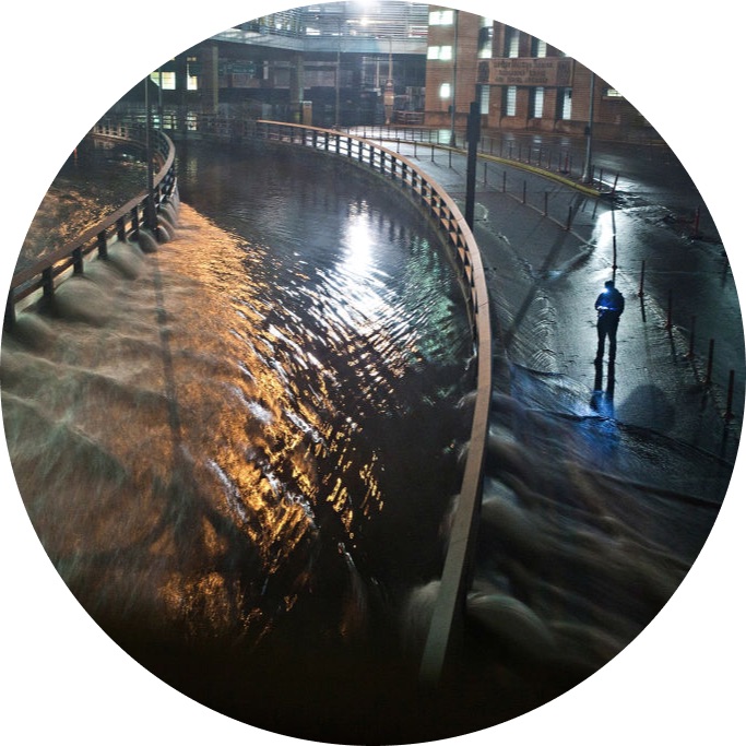
We'll show you how to tune a U-Net model to measure flood extent using Sentinel-1 synthetic-aperture radar imagery.
Join our newsletter or follow us for the latest on our social impact projects, data science competitions and open source work.
Learn more about how our team is bringing the transformative power of data science and AI to organizations tackling the world's biggest challenges.