Competition posts
Explore the latest in our mission to build a better world using data science and AI.
Explore the latest in our mission to build a better world using data science and AI.
Meet the minds behind the top models for identifying the chemical composition of planetary soil samples using mass spectrometry! Identifying the compounds within such samples can help scientists understand the past habitability of Mars.
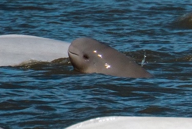
How to get started with the Where's Whale-do beluga photo-identification challenge!
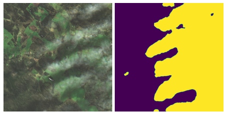
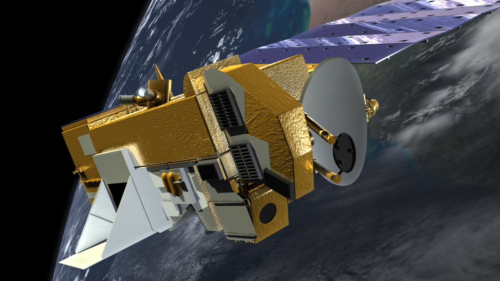
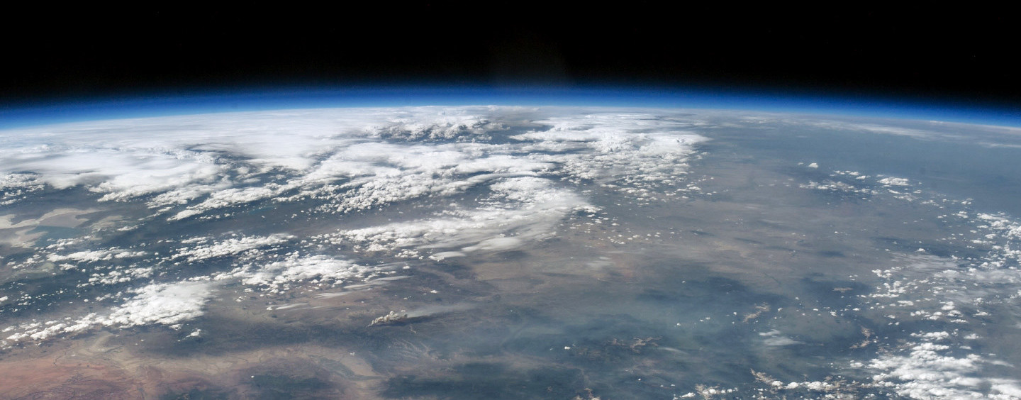
Better identifying and removing clouds from satellite imagery enables a wide variety of environmental applications in disaster recovery, conservation, and more. Get to know the winning participants who advanced state-of-the-art methods in cloud detection!
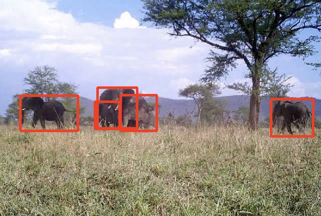
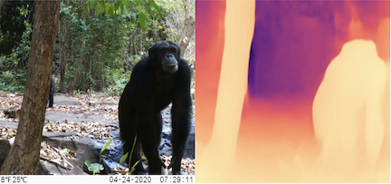
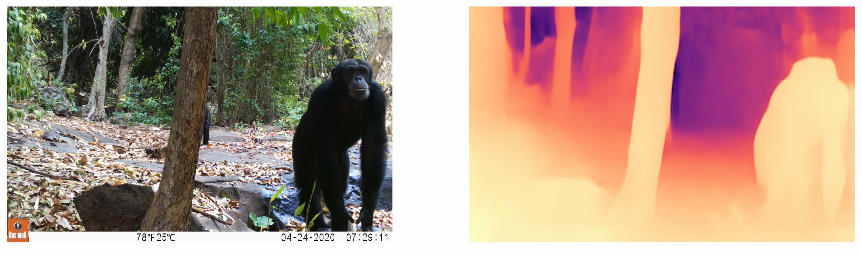
We'll show you how to get started identifying animal species from camera trap images!
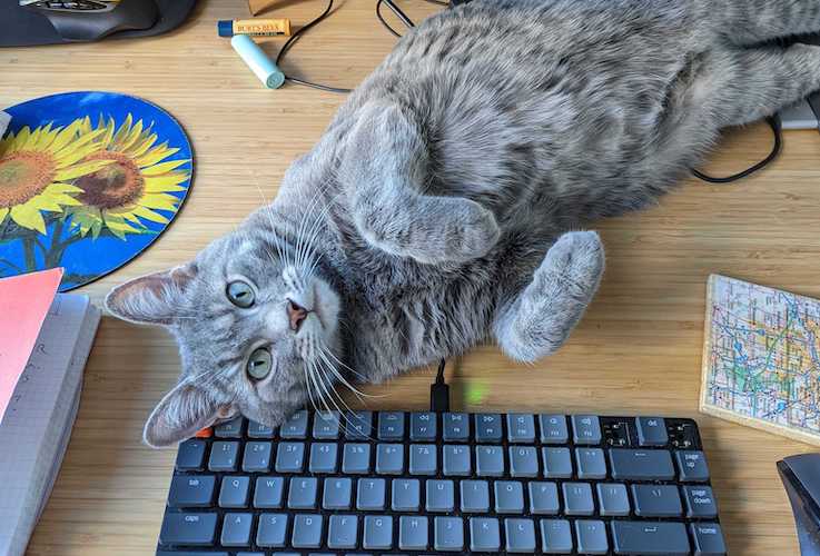
Hear from the DrivenPets about the results of our competition on the pet-productivity connection for remote workers
We'll show you how to preprocess HDF5 files and work with an OMI NO2 data product to estimate air quality around the world!
We'll show you how to preprocess HDF4 files and work with a MAIAC AOD data product to estimate air quality around the world!
In this post, we will show you how to get started on analyzing mass spectrometry data collected for Mars exploration.
Meet the minds behind the top models for measuring wildlife depth! Accurate depth estimations help ecologists track wildlife populations and protect the ecosystems that depend on them.
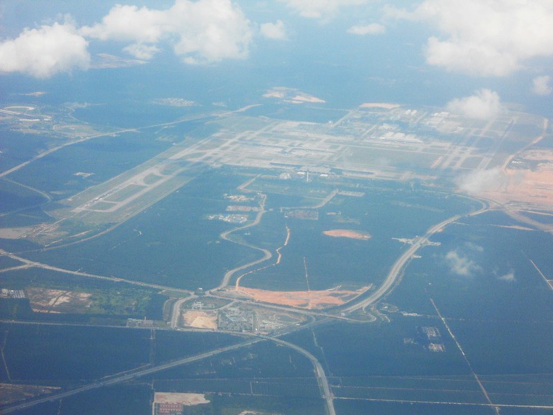
Start exploring how to help airports manage their runways to keep air traffic flowing.
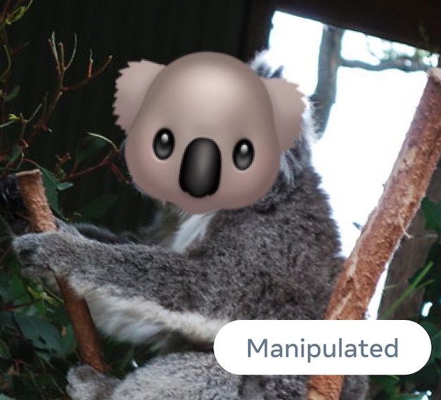
Introducing the winners of the Facebook AI Image Similarity Challenge! Meet the top teams who matched manipulated images with their source images.
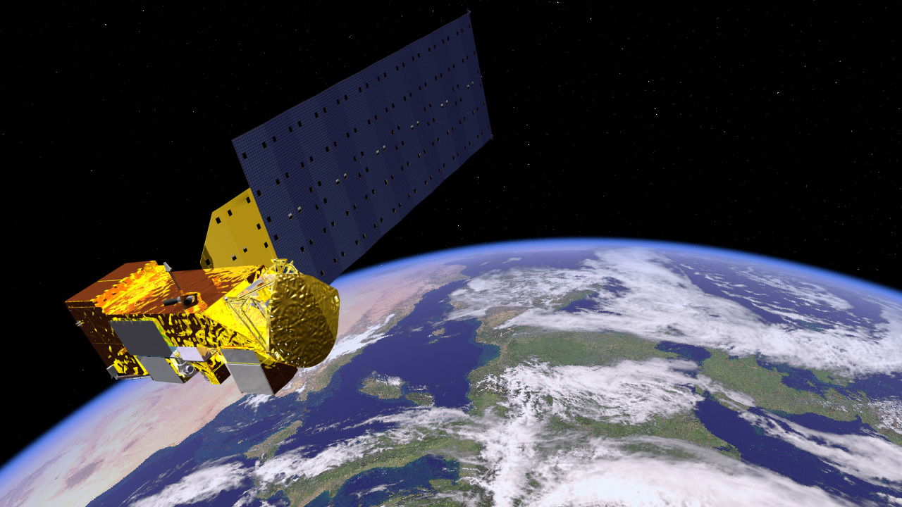
We'll demonstrate how to get started predicting cloud cover in satellite imagery for our new competition!
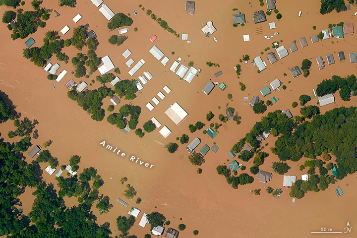
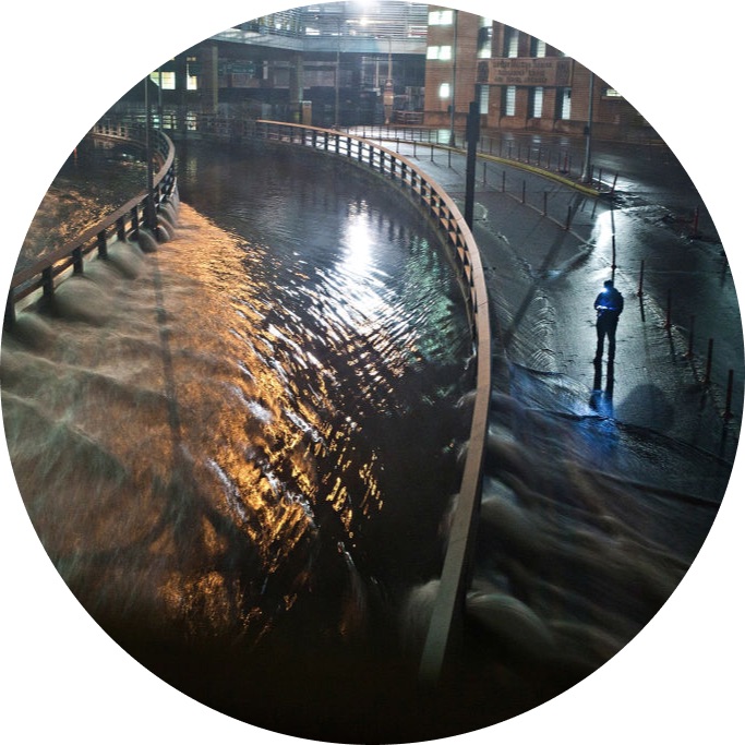
Meet the winners who were best able to detect floodwater using synthetic-aperture radar (SAR) imagery! These winners developed solutions that can help to strengthen early warning systems and direct emergency relief.
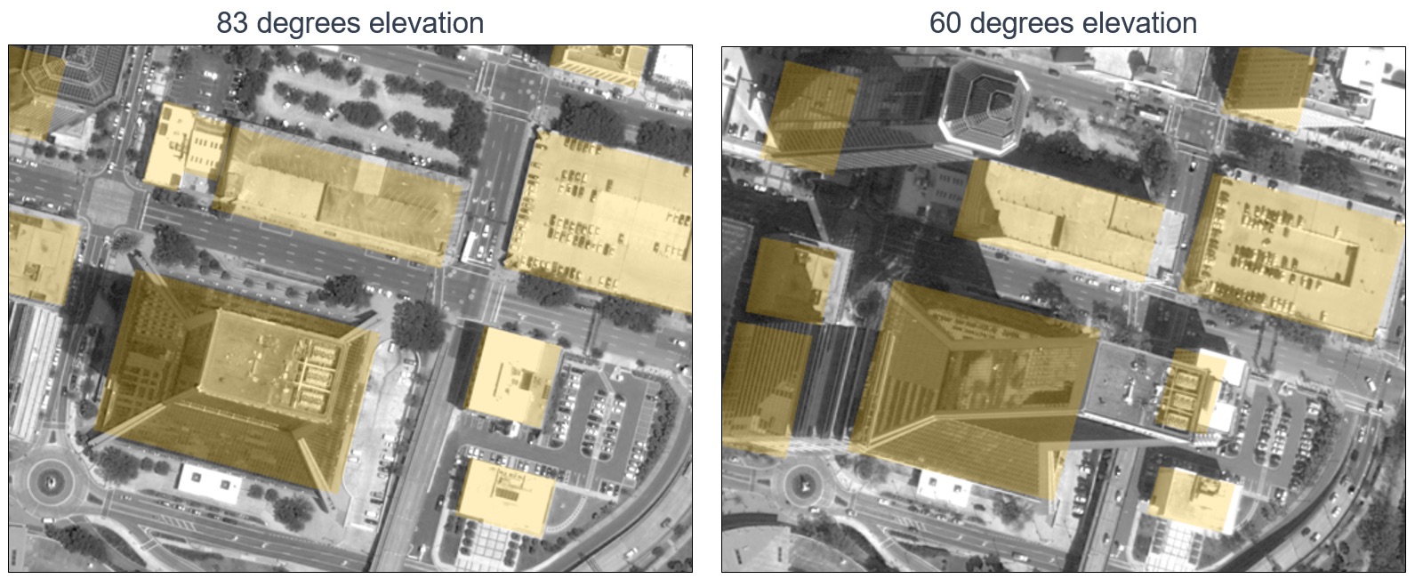
Meet the winners with the best models for mapping oblique satellite imagery to geocentric pose! These winners helped made overhead imagery more useful for time-sensitive applications like emergency response.
Code execution competitions allow participants to run their code on unseen test sets and have their best scores displayed on a live leaderboard. Read on to learn more about the what, why, and how of DrivenData code execution competitions!
We'll show you how to tune a U-Net model to measure flood extent using Sentinel-1 synthetic-aperture radar imagery.
In this post, we will introduce the Facebook AI Image Similarity Challenge and highlight some resources to help you get started.
Learn how these top teams built the most accurate ways to privatize millions of taxi rides.
We'll show you how to get started with the residual U-NET benchmark model, a state-of-the-art approach to predicting the height and pose of ground objects for monocular satellite images taken from oblique angles.
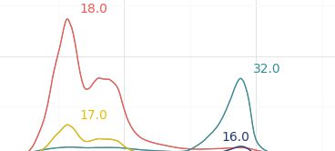
Meet the winners who were best able to predict disturbances in Earth's magnetic field, and hear them explain their creative solutions.
Learn how these top teams built the most accurate ways to privatize census records.
Join our newsletter or follow us for the latest on our social impact projects, data science competitions and open source work.
Learn more about how our team is bringing the transformative power of data science and AI to organizations tackling the world's biggest challenges.