DrivenData blog
Explore the latest in our mission to build a better world using data science and AI.
Explore the latest in our mission to build a better world using data science and AI.
Get started with the VisioMel Challenge! Come up with the best algorithms for predicting melanoma relapse.
Learn what wins data competitions in 2022 and 2023, and how you can apply these insights to your own work.
Explaining the basic concepts and best practices for creating Python packages in early 2023 using pyproject.toml build standards.
Get started with the Pushback to the Future challenge! Come up with the best algorithms for predicting a flight's pushback time from real-time flight data.
Although Zamba's models are trained with animals from Africa and Europe, they can be used with videos from other locations that show species the models have never seen. We demonstrate with a dataset from New Zealand.
Meet the minds behind the top models for identifying the chemical composition of planetary soil samples using gas chromatography-mass spectrometry!
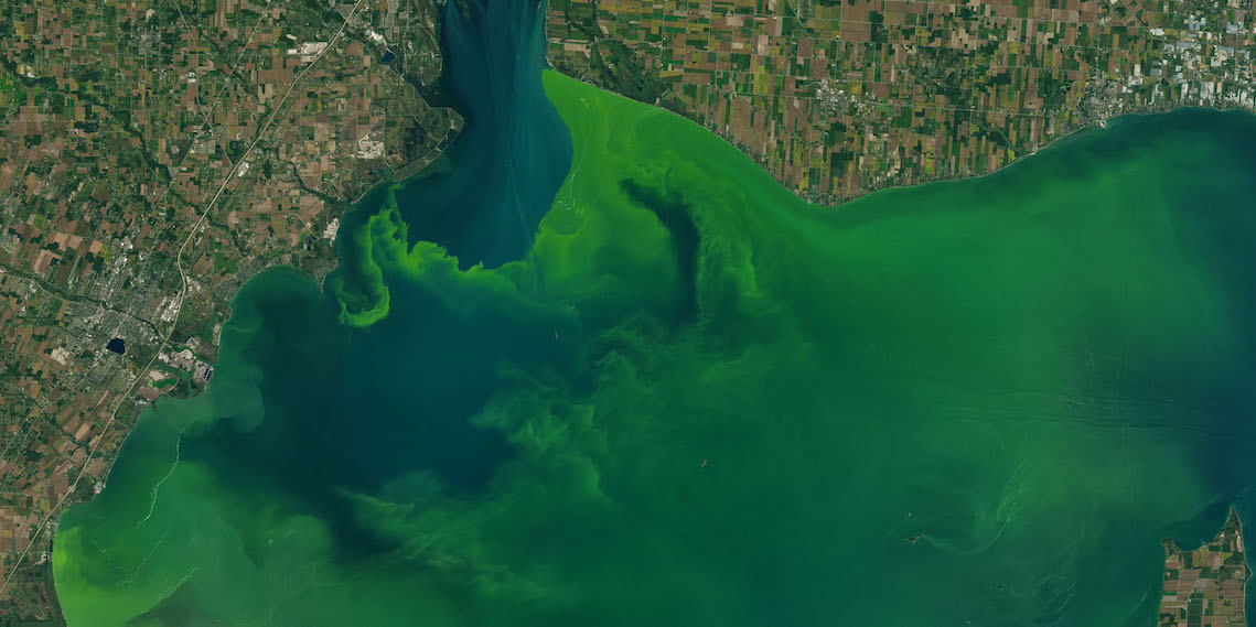
We'll show how to use satellite imagery and LightGBM to create a tree-based model predicting harmful algal blooms. This post will help you get started on our new Tick Tick Bloom Challenge!
Using probabilistic classifications from Zamba, we can automatically remove a large majority of blank videos while controlling the fraction of wildlife videos we lose. But how do we know where to draw the line?
In this post, we walk through the steps for getting started with the Meta AI Video Similarity Challenge.
Hear how these top teams applied novel privacy-enhancing technologies to the problems of financial crime and pandemic forecasting.
We can use Zamba's probablistic classifications to search for videos containing specific animals. Particularly for small animals, this strategy can be highly effective.
Using Zamba's probablistic classifications, you can identify and remove blank videos -- saving viewing time, storage space, and data transfer costs -- while minimizing the loss of videos that contain animals.
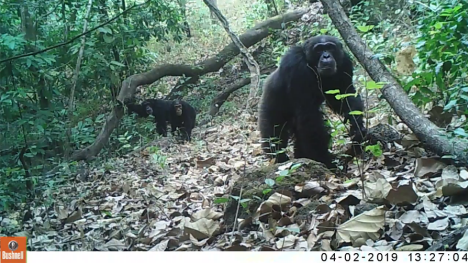
Through the Patrick J. McGovern Foundation Accelerator, DrivenData and the Wild Chimpanzee Foundation are teaming up to create automated, accurate, and accessible species detection tools.
In this post, we will show you how to get started on analyzing gas chromatography-mass spectrometry (GCMS) data.
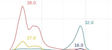
Meet the winners who most accurately estimated snow water equivalent across the Western U.S. in real-time.
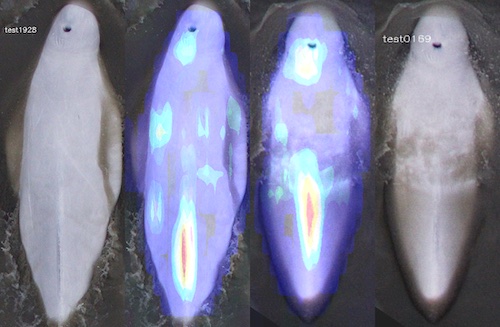
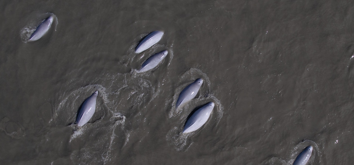
Meet the winners of the Where's Whale-do challenge, and learn about the deep learning models they developed to identify individual Cook Inlet beluga whales from images.
DrivenData designed and hosted a computer vision challenge that produced state-of-the-art machine learning models to automatically identify and match individual endangered beluga whales from aerial photography.
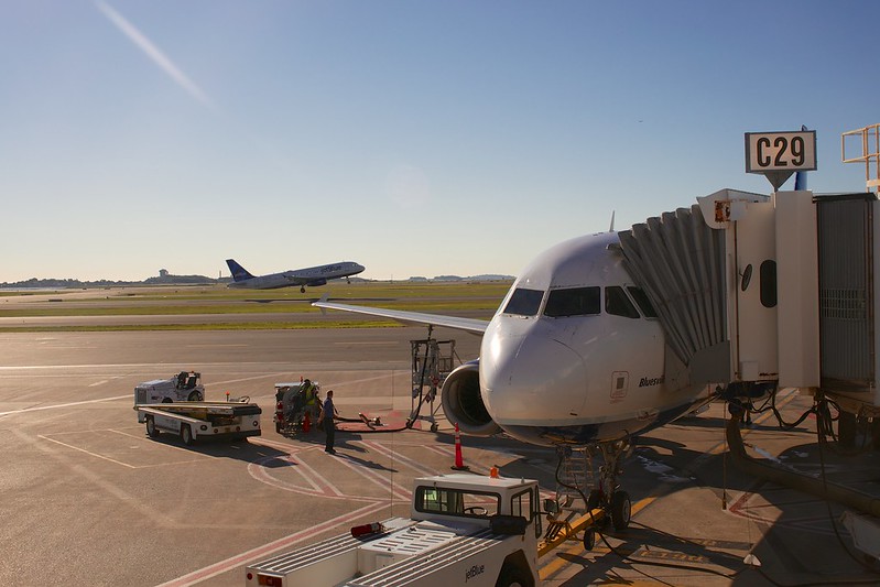
Meet the participants who built the best models for predicting airport configurations for 10 U.S. airports! Understanding the complex interactions between air traffic, weather, and airspace operations can help make air travel more smooth and efficient for everyone.
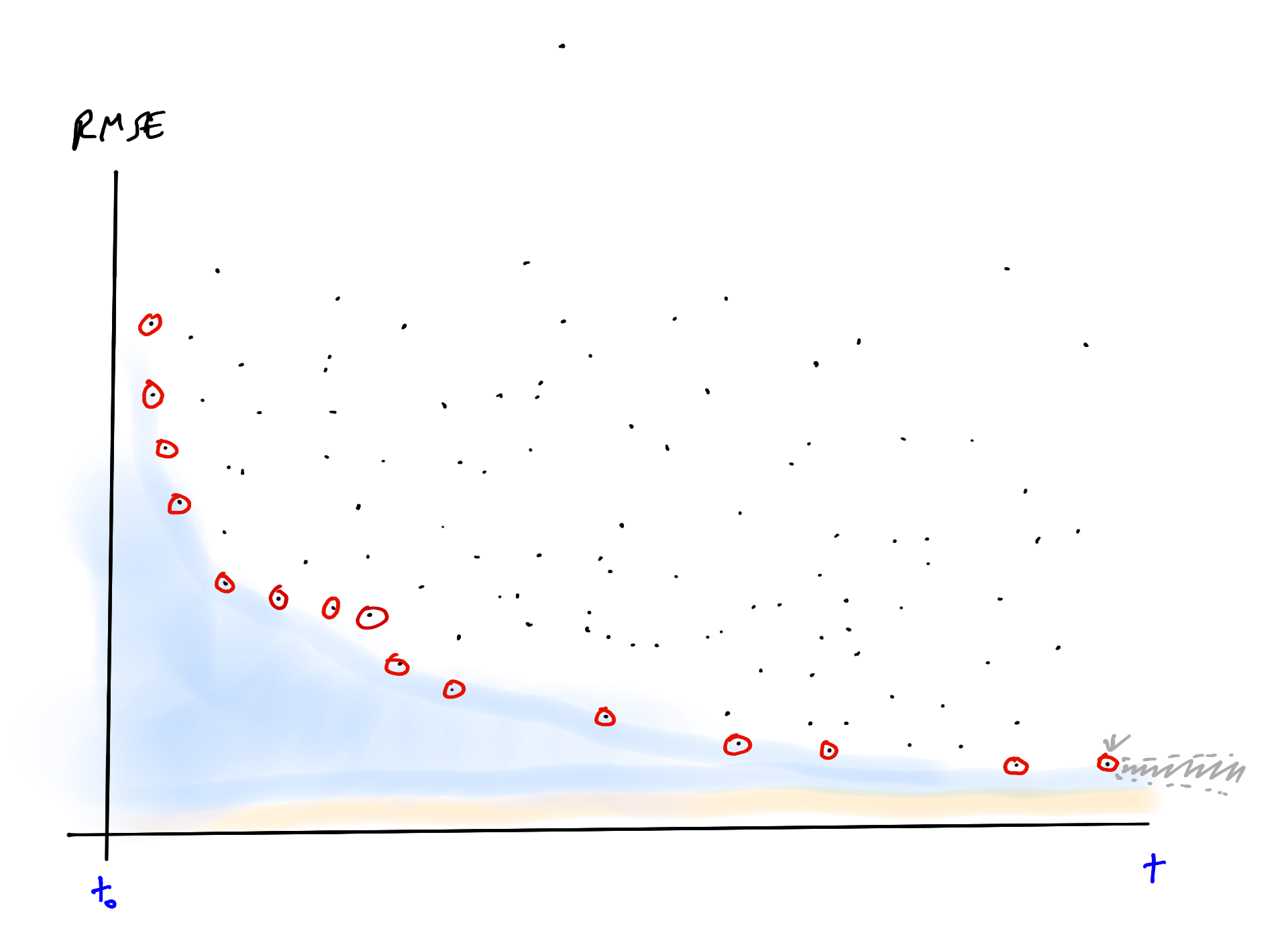
Classification algorithms give us a lower bound on how well we can distinguish categories; maybe machine learning competitions give us a way to estimate an upper bound.
Classification algorithms give us a lower bound on how well we can distinguish categories; maybe machine learning competitions give us a way to estimate an upper bound.
Meet the competitors who topped the leaderboards in the NASA Airathon challenge. Their predictions of surface-level air pollution could give millions of people the information required to protect their health.
Join our newsletter or follow us for the latest on our social impact projects, data science competitions and open source work.
Learn more about how our team is bringing the transformative power of data science and AI to organizations tackling the world's biggest challenges.